


Maxwell
Maxwell, NM 87728
Plan Your Visit
Nested in the foothills of dead volcanoes, high mesas, and the Rocky Mountains, Maxwell National Wildlife Refuge offers a unique landscape for visitors to observe wildlife. Encompassing about 3,700 acres of short grass prairie, playa lakes, wetlands, woodlots, and agricultural lands since 1965 and sitting at 6050 ft in elevation the refuge is a haven for migratory birds in the spring, fall and winter seasons. Visitors can keep an eye out for migratory and nesting birds around the seasonal playa lakes and wetlands within the refuge boundaries.
Trails:
Cottonwood Nature Trail: 1.0 miles, easy, grass and gravel surface.
Lake 14 Trail: .81 miles, easy, grass surface.
Prairie Dog Town Trail: .06 miles, easy, gravel surface.
Visitor Tips:
Temperatures and weather close to the base of the Rocky Mountains can change quickly. Visitors are encouraged to bring plenty of water, sunscreen, and insect repellant, binoculars, spotting scopes, cameras, telephoto lens, field guides (especially for birds), and snacks.
Check local weather to ensure you have dressed properly for the current season. It is recommended to always wear layered clothing, sturdy hiking shoes and a hat.
From Albuquerque, drive north on I-25 and take the Maxwell Exit (426). Drive north 0.8 miles on State Highway 445. At the intersection of State Highways 445 and 505, drive 2.5 miles west. Turn north on Lake 13 Road at the refuge entrance sign and drive 1.25 miles to the refuge visitor center. The distance is 200 miles, and the estimated driving time is 3 hours and 15 minutes.
Froom Denver drive south on I-25 and take the Maxwell Exit (426). Drive north 0.8 miles on State Highway 445. At the intersection of State Highways 445 and 505, drive 2.5 miles west. Turn north on Lake 13 Road at the refuge entrance sign and drive 1.25 miles to the refuge Visitor Center. The distance is 247 miles, and the estimated driving time is 3 hours and 48 minutes.
Maxwell National Wildlife Refuge is located at Latitude N 36.57143 and Longitude W -104.57945.
Activities


More Activities
Get Involved
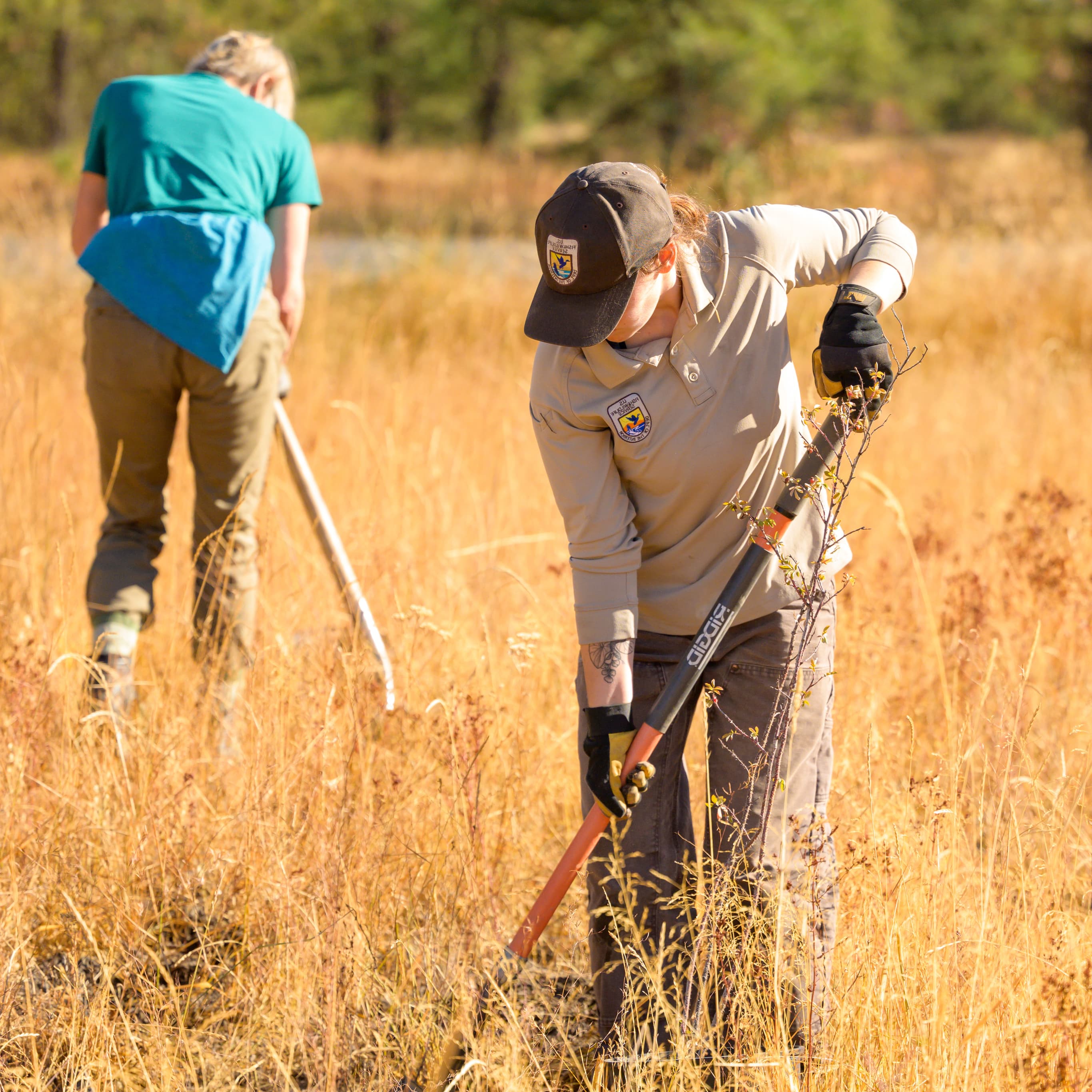
While National Wildlife Refuges are here for wildlife and the American people, there are things you can do to get involved with the wildlife around your community and refuge.
Working with others to conserve, protect, and enhance fish, wildlife, plants, and their habitats for the continuing benefit of the American people.
Services
Educational Programming and Outreach:
Our team would love to be a part of your event or host you at the refuge. Our staff can also provide field trips and curriculum-based lessons for all students alike. For event inquiries please email: alyssa_lu@fws.gov.
Projects and Research:
National Wildlife Refuges are here for wildlife and the American public. Research opportunities are open for universities and organizations to come out to the refuge to learn about the natural environment. For more information on how you can research on the refuge, please contact Chris Moehring.
About
Located in northeastern New Mexico at an elevation of 6050’, Maxwell National Wildlife Refuge encompasses 3,699 acres of short-grass prairie, playa lakes, woodlots, wetlands, and crop fields. The refuge sits in an open basin surrounded by high mesas to the northeast and the Sangre de Cristo Mountains to the west. Since 1965 this landscape has been managed for the benefit of wildlife and has provided feeding and resting habitat for migratory birds.
Approximately 2,800 acres of the lands that make up Maxwell National Wildlife Refuge are owned by the U.S. Fish and Wildlife Service and are made up of 23 tracts of land purchased from willing landowners under the authority of the Migratory Bird Conservation Act. An additional 907 acres are leased from the Vermejo Conservancy District in the form of the playa lakes on the refuge (Lakes 12,13 and 14).
Prior to European colonization and the National Wildlife Refuge, the lands making up the refuge and surrounding Colfax County were a source of food and an area of trade for several Native American nations, including the Comanche, Apache, Kiowa, and Ute.
Evidence of European settlement still exists on the refuge and around the surrounding area. Remnants of the Santa Fe Trail are within two miles of the refuge boundary. Beginning in 1821, the 900-mile trail served as the main trading route for western settlers between Missouri and Santa Fe for more than 60 years.
